Hurricane Peak
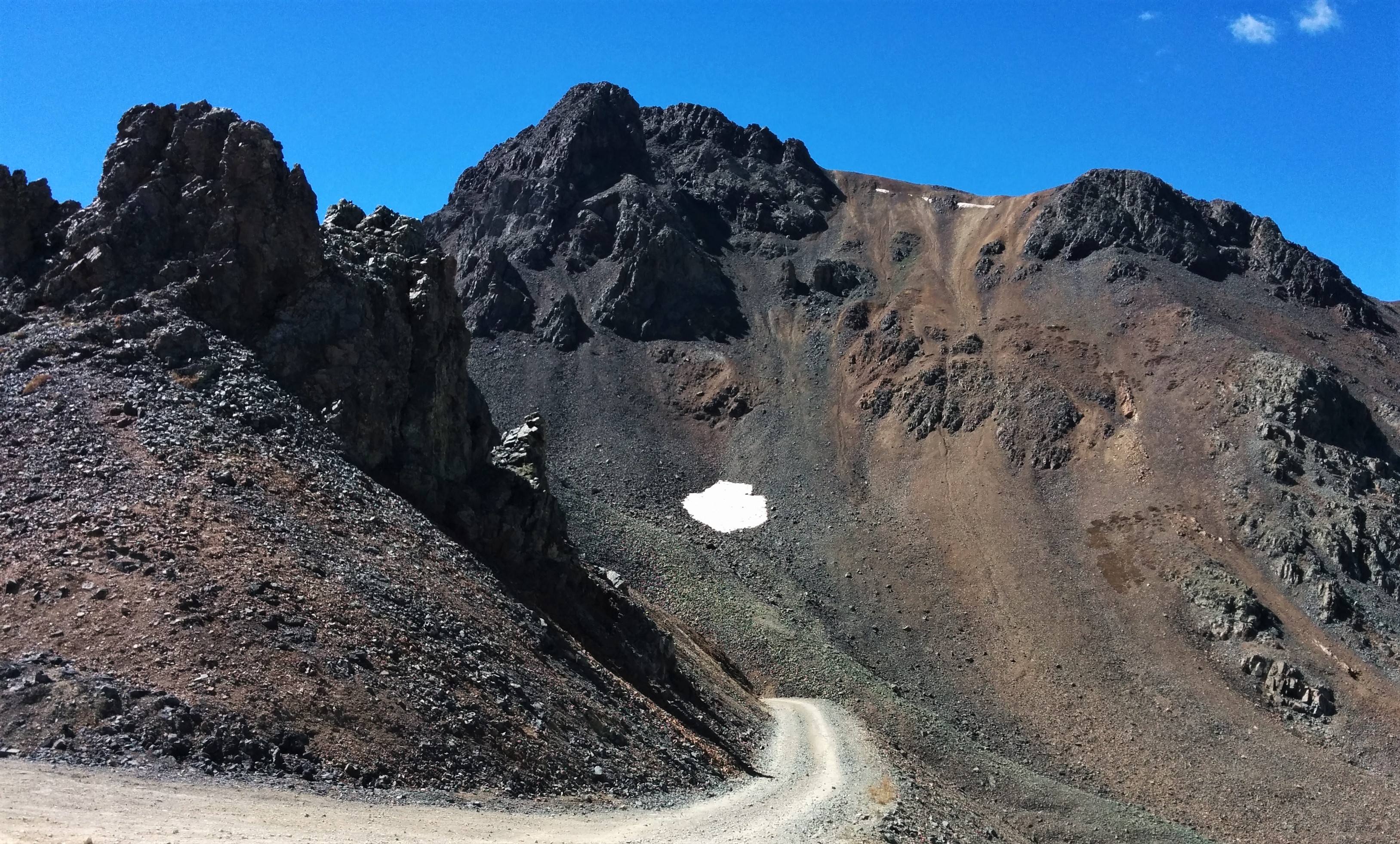
Hurricane Peak is a 13,447-foot-elevation (4,099-meter) mountain summit located in San Juan County of southwest Colorado, United States. It is situated equidistant between the historic towns of Ouray and Silverton, and is approximately nine miles west of the Continental Divide. It is part of the San Juan Mountains which are a subset of the Rocky Mountains. Topographic relief is significant as the north aspect rises 1,200 feet (370 meters) above Lake Como in one-half mile. Neighbors include Abrams Mountain 3.4 miles to the north, Red Mountain 2.2 miles to the west, and Tuttle Mountain 1.4 mile to the north. The Mountain Queen Mine, which is located on the east slope of Hurricane Peak at the head of California Gulch, is one of the oldest workings in the area and was most active from 1878 to 1880. The mountain's name, which has been officially adopted by the United States Board on Geographic Names, was in use in 1906 when Henry Gannett published it in the Gazetteer of Colorado.
Elevation: 4095 m
Country: United States
Explore topics:
- Hurricane Peak hiking routes
- Hurricane Peak best routes
- Hurricane Peak camping
- Hurricane Peak parking
- Hurricane Peak car park
- Hurricane Peak difficulty
- Hurricane Peak family friendly
- Hurricane Peak dog friendly
- Hurricane Peak sunrise hike
- Hurricane Peak sunset hike
Related mountains in United States
- "Leaning South Peak"
- 1117 Mountain
- 1st Burroughs Mountain
- 22 Mesa
- 2768 feet
- 3rd Burroughs Mountain
- 45 Hill
- 7 Mile Point
- 7780 ft
- 7K Peak