Tonelagee NE Top
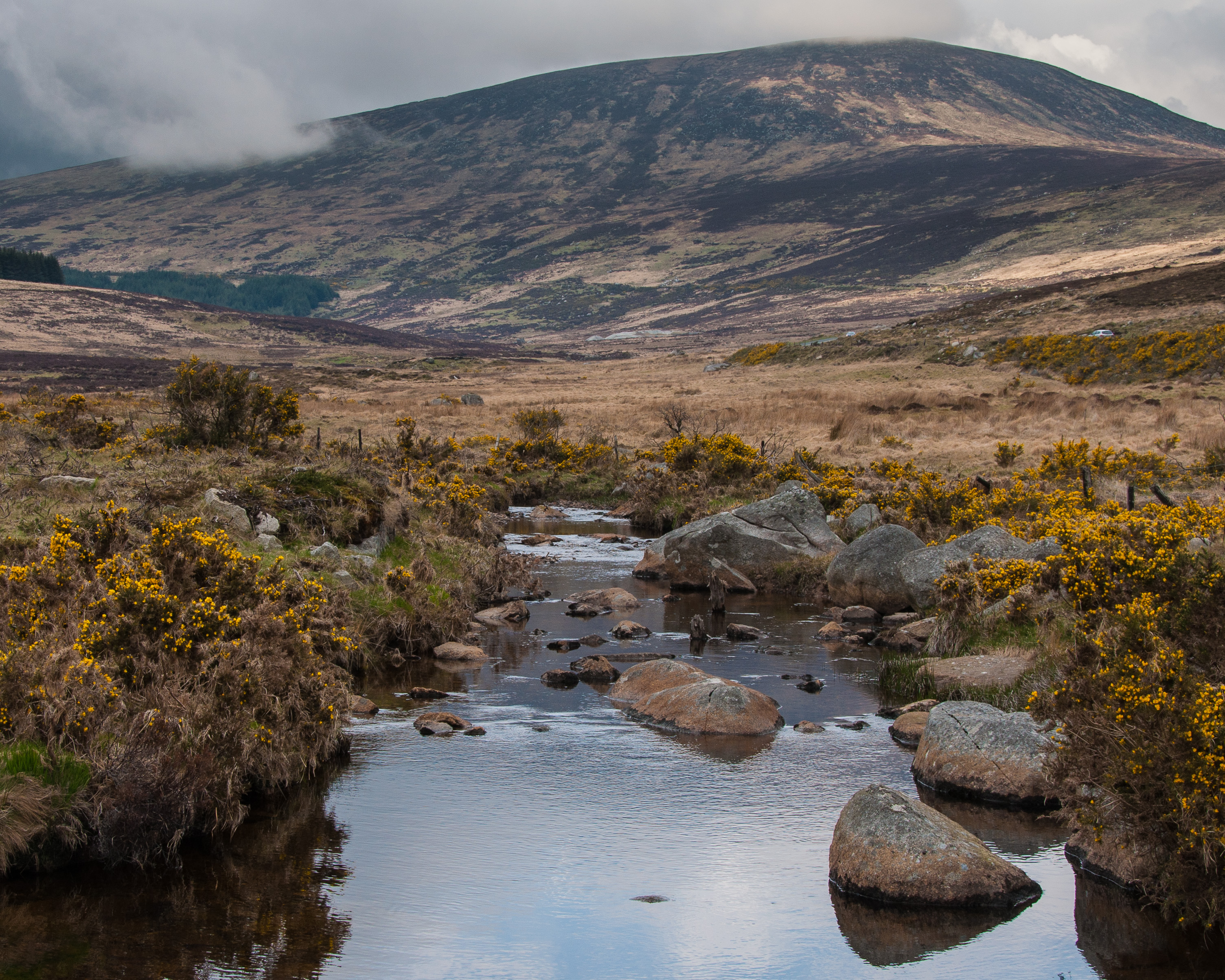
Tonelagee (Irish: Tóin le Gaoith, meaning 'backside to the wind'), is at 817 metres (2,680 ft), is the 25th–highest peak in Ireland on the Arderin scale, and the 33rd–highest peak on the Vandeleur-Lynam scale. Tonelagee is situated in the central sector of the Wicklow Mountains range, and sits on the main "central spine" of the range that runs from Kippure in the north, to Lugnaquillia in the south; and in particular, the continuous "central boggy ridge" that runs from the Sally Gap in the north, via Mullaghcleevaun, to Tonelagee. Tonelagee is the third highest peak in Wicklow after Lugnaquilla and Mullaghcleevaun. To the north is the subsidiary summit of Stoney Top 714 metres (2,343 ft), and to the east is another subsidiary summit of Tonelagee NE Top 668 metres (2,192 ft); between these three summits is the deep "heart-shaped" corrie lake of Lough Ouler.
Elevation: 668 m
Country: United Kingdom
Explore topics:
- Tonelagee NE Top hiking routes
- Tonelagee NE Top best routes
- Tonelagee NE Top camping
- Tonelagee NE Top parking
- Tonelagee NE Top car park
- Tonelagee NE Top difficulty
- Tonelagee NE Top family friendly
- Tonelagee NE Top dog friendly
- Tonelagee NE Top sunrise hike
- Tonelagee NE Top sunset hike
Related mountains in United Kingdom
- A' Bhuidheanach
- A' Bhuidheanach Bheag
- A' Chailleach
- A' Chailleach
- A' Chaoirnich
- A' Chioch
- A' Chioch
- A' Chrois
- A' Chràileag
- A' Ghlas-bheinn