Rhobell Fawr
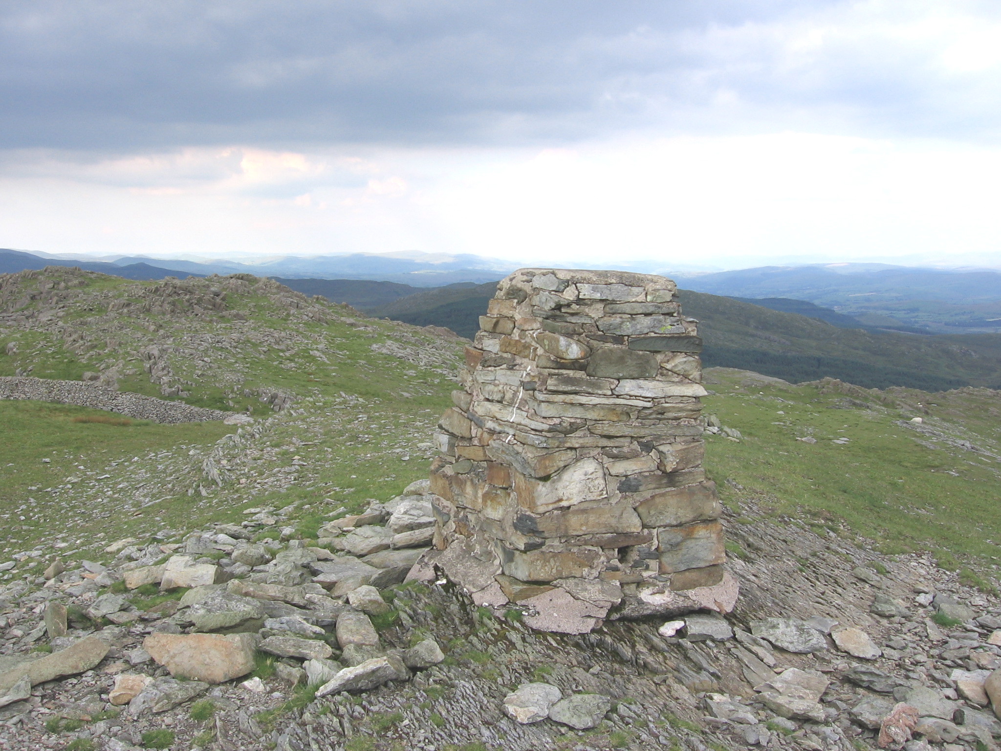
Rhobell Fawr is a mountain and the site of an ancient volcano that was active during the Early Ordovician period in the Arenig range within the Snowdonia National Park. Despite its modest height of 734 m (2,408 feet), it is a mountain with views of higher peaks all around, including the north face of Cadair Idris and distant Snowdon. The paths are not well trodden, but there is a distinct path up from Bwlch Goriwared, a couple of miles north-north-east of the small village of Llanfachreth.
Elevation: 734 m
Country: United Kingdom
Explore topics:
- Rhobell Fawr hiking routes
- Rhobell Fawr best routes
- Rhobell Fawr camping
- Rhobell Fawr parking
- Rhobell Fawr car park
- Rhobell Fawr difficulty
- Rhobell Fawr family friendly
- Rhobell Fawr dog friendly
- Rhobell Fawr sunrise hike
- Rhobell Fawr sunset hike
Related mountains in United Kingdom
- A' Bhuidheanach
- A' Bhuidheanach Bheag
- A' Chailleach
- A' Chailleach
- A' Chaoirnich
- A' Chioch
- A' Chioch
- A' Chrois
- A' Chràileag
- A' Ghlas-bheinn