Dodd Fell Hill
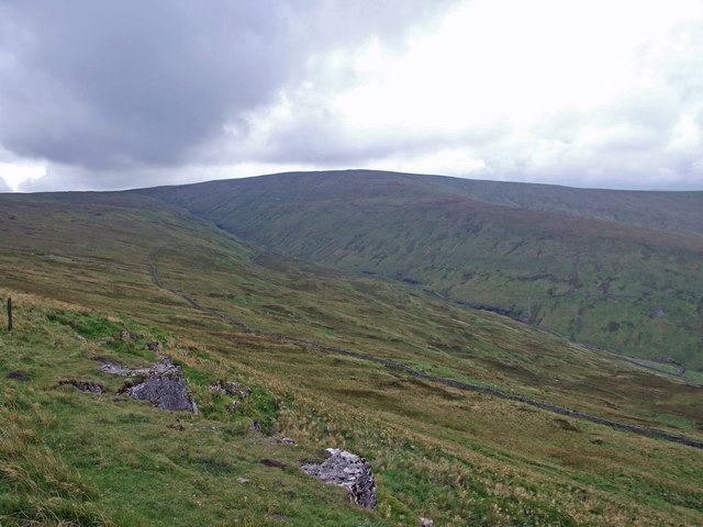
Dodd Fell Hill is a hill in the Yorkshire Dales, in North Yorkshire, England. It is classed as a Marilyn (a hill with topographic prominence of at least 150 metres (490 ft)) and its summit is at 668 metres (2,192 ft). The flat summit, known as Dodd Fell Hill, is marked by a concrete trig-point. The hill has a lower summit known as Ten End, which is 1.6-kilometre (1 mi) to the north, and slightly lower at 580 metres (1,910 ft) above sea level. The name of Dodd Fell is derived from the Middle English Dodde, and the Old Norse Fjall, meaning the hill with the rounded top. Water flowing off the hill to the north-east forms Duerley Beck, and runs down Sleddale and becomes a tributary of the River Ure. Water flowing to the north runs through Snaizeholme, a side dale of Widdale, and the high ridge between the summit of Dodd Fell and Snaizeholme is traversed by the Pennine Way.
Elevation: 668 m
Country: United Kingdom
Explore topics:
- Dodd Fell Hill hiking routes
- Dodd Fell Hill best routes
- Dodd Fell Hill camping
- Dodd Fell Hill parking
- Dodd Fell Hill car park
- Dodd Fell Hill difficulty
- Dodd Fell Hill family friendly
- Dodd Fell Hill dog friendly
- Dodd Fell Hill sunrise hike
- Dodd Fell Hill sunset hike
Related mountains in United Kingdom
- A' Bhuidheanach
- A' Bhuidheanach Bheag
- A' Chailleach
- A' Chailleach
- A' Chaoirnich
- A' Chioch
- A' Chioch
- A' Chrois
- A' Chràileag
- A' Ghlas-bheinn