Culter Fell
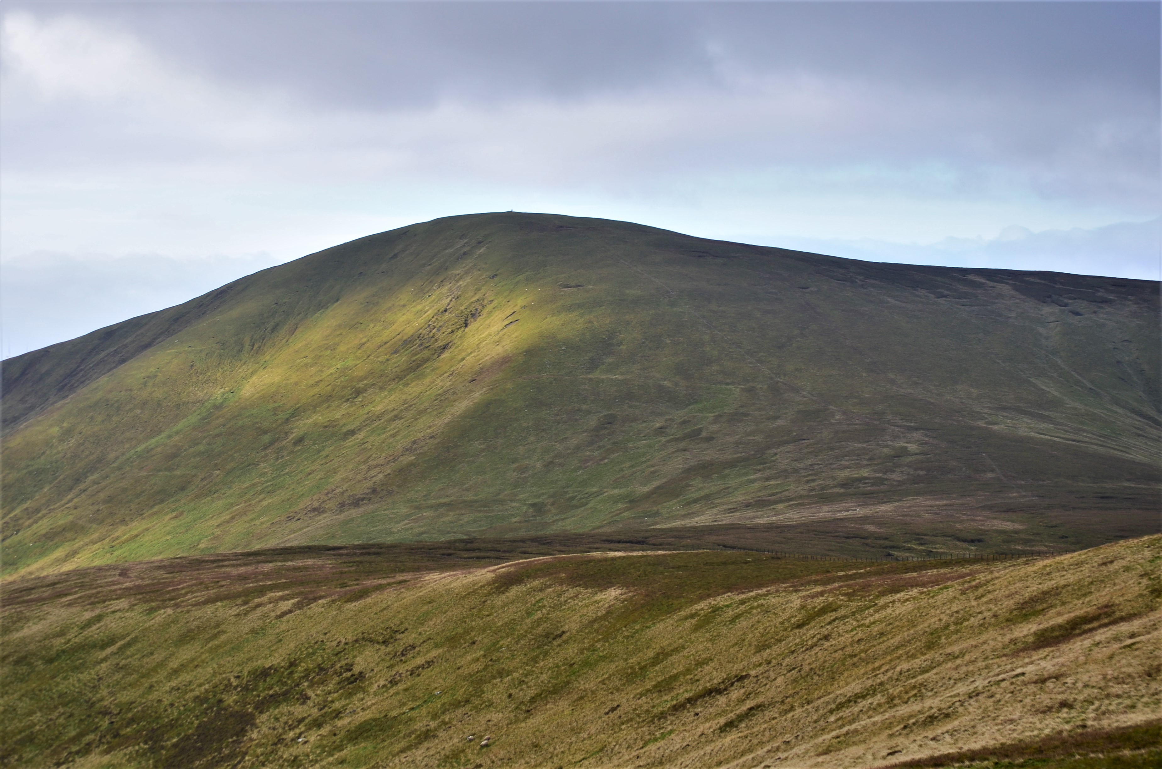
Culter Fell is a hill in the Culter Hills range, part of the Southern Uplands of Scotland. It is the county top of the historic county of Lanarkshire, as well as the highest point in South Lanarkshire council area. It is the culmination of a network of ridges that lie south of the village of Coulter, close to the town of Biggar. It is probably most easily climbed from the north west. The best starting point is the mouth of Kings Beck, at NT 031305. Earlier OSGB topographic maps show a public road at this location, but the most recent maps show only a private road, and there are notices threatening to remove unauthorised vehicles. Cars should therefore be parked at Birthwood, 500 metres further back. It is tempting to walk up the track leading up the Kings Beck, but the direct route up the north west ridge is much easier. The slope is smooth and dry, the vegetation is short, and although there is no constructed footpath, helpful steps have been cut by the boots of previous climbers. The
Elevation: 747 m
Country: United Kingdom
Explore topics:
- Culter Fell hiking routes
- Culter Fell best routes
- Culter Fell camping
- Culter Fell parking
- Culter Fell car park
- Culter Fell difficulty
- Culter Fell family friendly
- Culter Fell dog friendly
- Culter Fell sunrise hike
- Culter Fell sunset hike
Related mountains in United Kingdom
- A' Bhuidheanach
- A' Bhuidheanach Bheag
- A' Chailleach
- A' Chailleach
- A' Chaoirnich
- A' Chioch
- A' Chioch
- A' Chrois
- A' Chràileag
- A' Ghlas-bheinn