Gunung Merapi
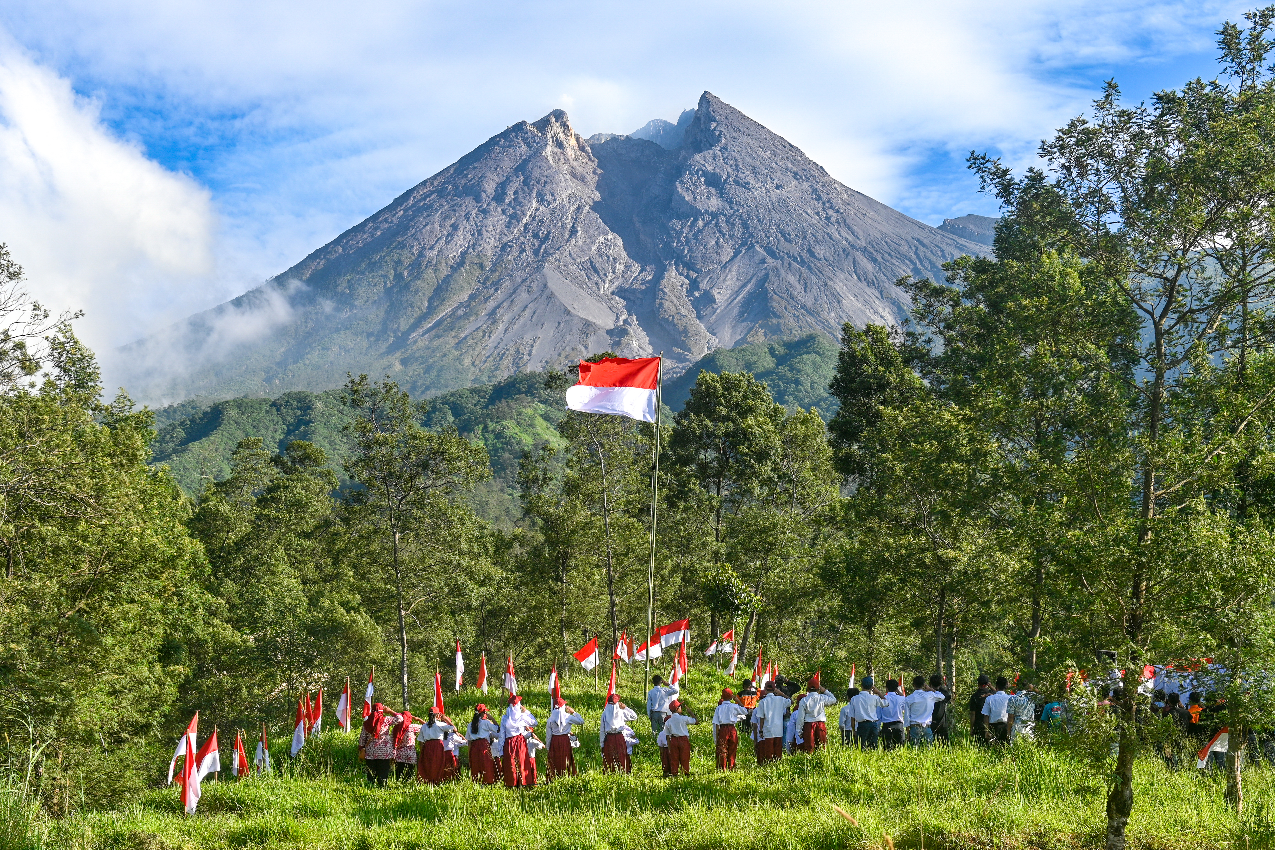
Mount Merapi (Indonesian: Gunung Merapi; Javanese: ꦒꦸꦤꦸꦁꦩꦼꦫꦥꦶ, romanized: gunung měrapi, lit. 'Fire Mountain') is an active stratovolcano located on the border between the province of Central Java and the Special Region of Yogyakarta, Indonesia. It is the most active volcano in Indonesia and has erupted regularly since 1548. It is located approximately 28 km (17 mi) north of Yogyakarta city which has a population of 2.4 million. Thousands of people live on the flanks of the volcano, with villages as high as 1,700 m (5,577 ft) above sea level. Smoke can often be seen rising from the mountaintop, and several eruptions have caused fatalities. A pyroclastic flow from a large explosion killed 27 people on 22 November 1994, mostly in the town of Muntilan, west of the volcano. Another large eruption occurred in 2006, shortly before the Yogyakarta earthquake. In light of the hazards that Merapi poses to populated areas, it was designated as one of the Decade Volcanoes, which are considered
Elevation: 2803 m
Country: Pacific Islands
Explore topics:
- Gunung Merapi hiking routes
- Gunung Merapi best routes
- Gunung Merapi camping
- Gunung Merapi parking
- Gunung Merapi car park
- Gunung Merapi difficulty
- Gunung Merapi family friendly
- Gunung Merapi dog friendly
- Gunung Merapi sunrise hike
- Gunung Merapi sunset hike