Großer Beerberg
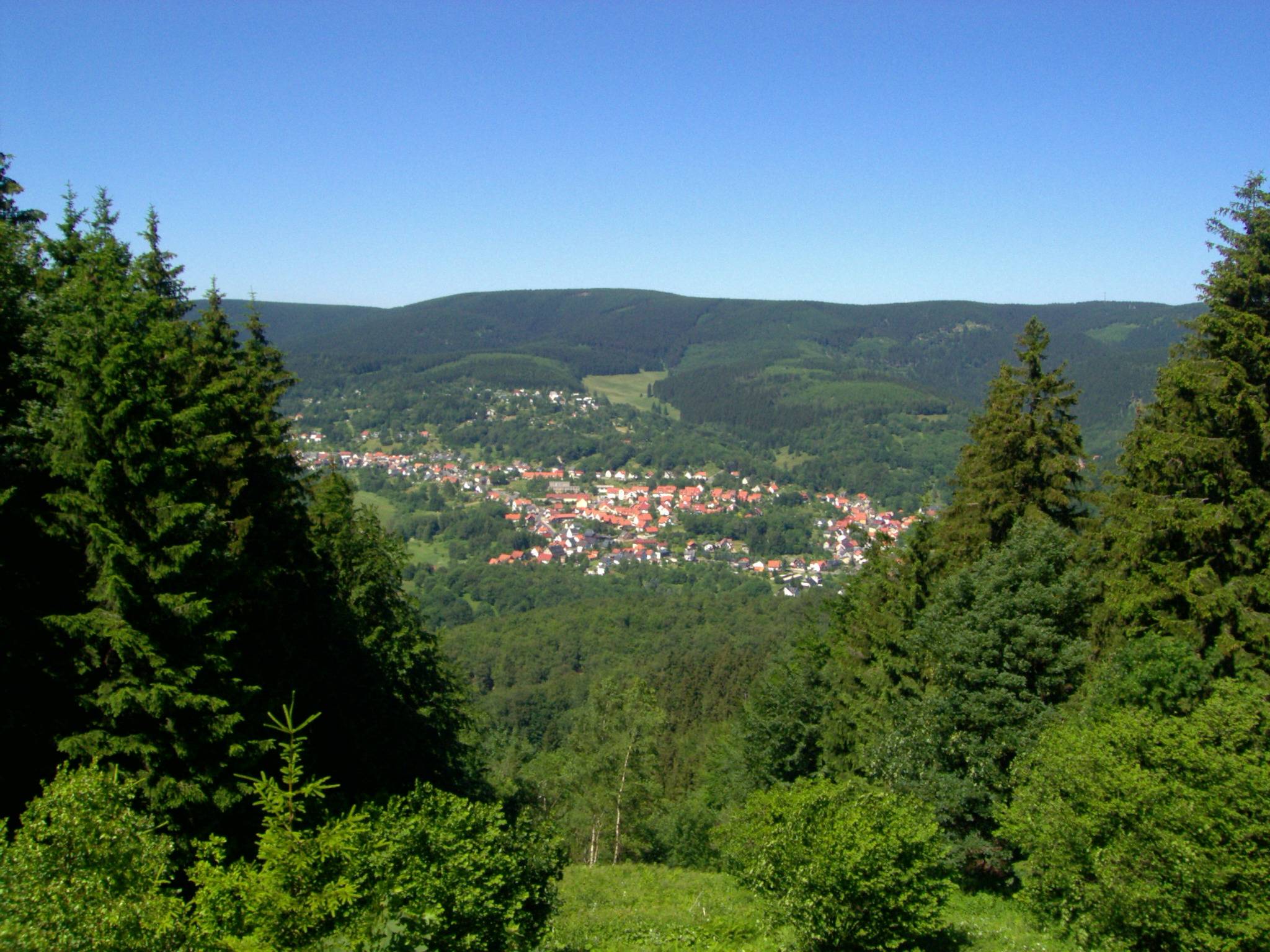
The Großer Beerberg (German pronunciation: [ˈɡʁoːsɐ ˈbeːɐ̯ˌbɛʁk]) is a mountain, 982.9 m above sea level (NHN), whose summit is the highest point in the Thuringian Forest and the state of Thuringia. It is located between the three villages of Heidersbach, Goldlauter and Gehlberg in the borough of Suhl. The mountain is made of rhyolite (quartz porphry) that was formed through volcanic processes in the Rotliegendes rock of the Oberhof Formation, about 280 million years ago, and which was uplifted over the surrounding sediments to form a butte. Between the summit of the Beerberg and that of its eastern neighbour, the Schneekopf (978 m), the second highest mountain of Thuringia, is a 60-metre-deep col. To the west is the Sommerbachskopf (941 m). On the summit of Beerberg is one of the few moorlands of the Thuringian Forest. Until the end of the 1980s there was an observation tower on the mountain. A few years ago, a small platform was again established below the summit at Plänckners Aussic
Elevation: 983 m
Country: Germany
Explore topics:
- Großer Beerberg hiking routes
- Großer Beerberg best routes
- Großer Beerberg camping
- Großer Beerberg parking
- Großer Beerberg car park
- Großer Beerberg difficulty
- Großer Beerberg family friendly
- Großer Beerberg dog friendly
- Großer Beerberg sunrise hike
- Großer Beerberg sunset hike
Related mountains in Germany
- Abbenstein
- Ablegberg
- Absbachhöhe
- Abspannberg
- Abtsberg
- Abtsberg
- Abtsrodaer Kuppe
- Achalm
- Achslacher Berg
- Adamova hora