Loddon Bluff
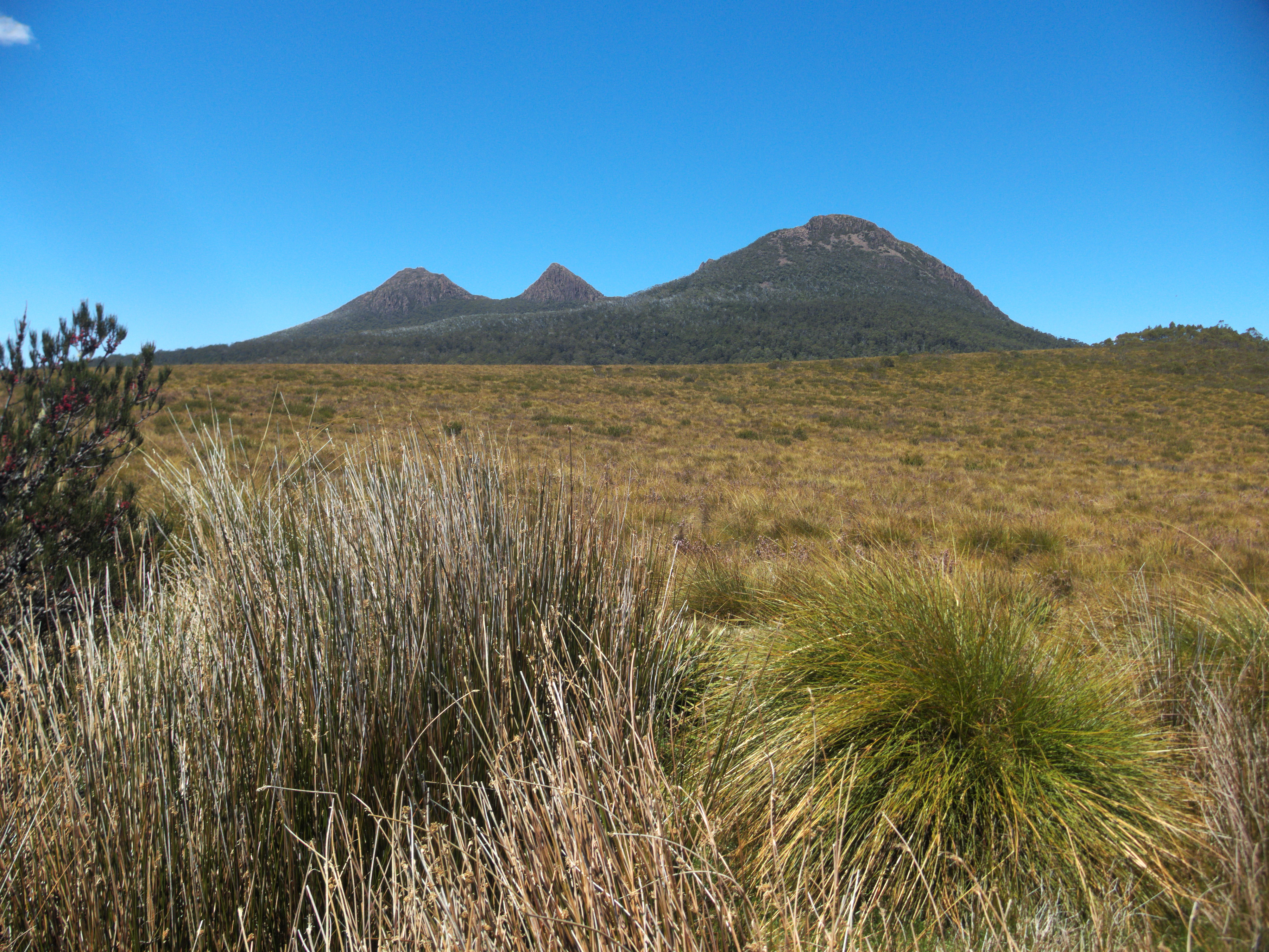
The King William Range is a mountain range in the South West Wilderness, Tasmania, Australia. It is situated south of the Lyell Highway and Derwent Bridge. It is the source of the Gordon River catchment. Despite older designations of a single peak, it has three peaks named Mount King William, designated I, II and III. The mountains that are over 1100m high in the range include: Loddon Bluff (1220m) Mt King William I (1324m) Slatters Peak (1300m) Mt King William II (1363m) Mt Hobhouse (1222m) Wentworth Hills (1244m) In some mapping of Tasmania it is included in the Central Highlands region, and it is also in proximity to Hydro Tasmania impoundments in the highlands.
Elevation: 1220 m
Country: Australia
Explore topics:
- Loddon Bluff hiking routes
- Loddon Bluff best routes
- Loddon Bluff camping
- Loddon Bluff parking
- Loddon Bluff car park
- Loddon Bluff difficulty
- Loddon Bluff family friendly
- Loddon Bluff dog friendly
- Loddon Bluff sunrise hike
- Loddon Bluff sunset hike
Related mountains in Australia
- Abbott Peak
- Abbotts Lookout
- Abel Peak
- Aberfoyle Sugarloaf
- Abrotanella Rise
- Adams Peak
- Adamsons Peak
- Addicumbene
- Adla Hill
- Airmid Dome